-
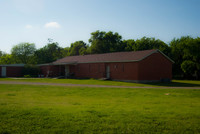 County Line Baptist Church
 The people of St. Johns Baptist Church and County Line Baptist Church were interconnected. Members of the Whitlow and Vaughner families helped to found County Line Baptist Church and their relatives attended St. John's Baptist.
-
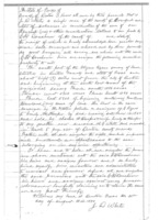 White Family Farm
 The White farm was located within the William Boydston Survey.
-
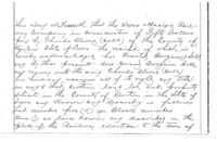 Homestead of Charles and Peggy Oliver
 Charles and Peggy Oliver were some of the first to be buried in St. John's Cemetery. Their homestead was located within the Nathan Mitchell Survey.
-
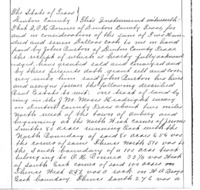 Homestead of John and Louisa Burton
 The John Burton Homestead was located within the J.M. Moses Survey due west of the Lyles Farm. Burton and Lyles were both instrumental in founding both St. John's Baptist Church and Cemetery as their names are both on the deed.
-
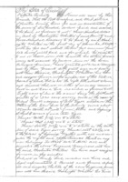 Home of Washington Whitlow
 The Washington Whitlow homestead was located within the Peter Visor Survey.
-
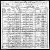 Home of George and Martha Billingslea
 George and Martha Billingslea lived in Gainesville proper. After George's death, Martha moved to an unknown location in Pilot Point.
-
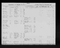 Homestead of Levi and Georgia Holstein
 The Holstein homestead was located within the Joseph Jeffries survey. The Holsteins were one of a few families that lived on the border of Cooke County and Denton County. Their homestead today is under Lake Ray Roberts.
-
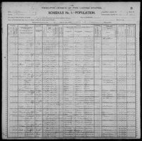 Vaughner Family Farm
 The Vaughner farm was located within the D. Cady survey just west of St. John's Cemetery.
-
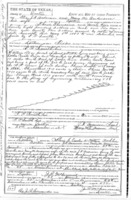 Truitt Family Homestead
 The Truitt family homestead was located within the Samuel Flint survey. The Truitts were neighbors of the Shears family who were also members of St. John's Baptist Church.
-
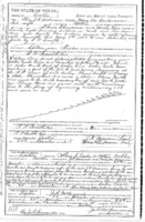 Homestead of Harriet and Risom Shears
 The Shears' family homestead was located within the Samuel Flint Survey just west of the town of Pilot Point. The Shears lived on the same property as the Truitt family, also members of St. John's Baptist Church.
-
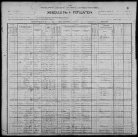 Homestead of Wash Davis and Family
 Wash Davis's homestead was located within the N. Box Survey and just across the train tracks from the Allen farm.
-
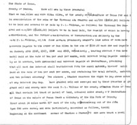 Homestead of the Allen Family
 The Allen family farm was located within the William Boydston survey.
-
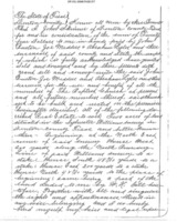 St. John's Baptist Church
 St. John's Baptist Church was located in the Sylvester Williams Survey and consisted of two acres of land.
-
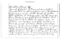 Lyles Family Home
 The Lyles farm was located within the J.M. Moses Survey and consisted of sixty-three acres of land.
 County Line Baptist Church The people of St. Johns Baptist Church and County Line Baptist Church were interconnected. Members of the Whitlow and Vaughner families helped to found County Line Baptist Church and their relatives attended St. John's Baptist.
 White Family Farm The White farm was located within the William Boydston Survey.
 Homestead of Charles and Peggy Oliver Charles and Peggy Oliver were some of the first to be buried in St. John's Cemetery. Their homestead was located within the Nathan Mitchell Survey.
 Homestead of John and Louisa Burton The John Burton Homestead was located within the J.M. Moses Survey due west of the Lyles Farm. Burton and Lyles were both instrumental in founding both St. John's Baptist Church and Cemetery as their names are both on the deed.
 Home of Washington Whitlow The Washington Whitlow homestead was located within the Peter Visor Survey.
 Home of George and Martha Billingslea George and Martha Billingslea lived in Gainesville proper. After George's death, Martha moved to an unknown location in Pilot Point.
 Homestead of Levi and Georgia Holstein The Holstein homestead was located within the Joseph Jeffries survey. The Holsteins were one of a few families that lived on the border of Cooke County and Denton County. Their homestead today is under Lake Ray Roberts.
 Vaughner Family Farm The Vaughner farm was located within the D. Cady survey just west of St. John's Cemetery.
 Truitt Family Homestead The Truitt family homestead was located within the Samuel Flint survey. The Truitts were neighbors of the Shears family who were also members of St. John's Baptist Church.
 Homestead of Harriet and Risom Shears The Shears' family homestead was located within the Samuel Flint Survey just west of the town of Pilot Point. The Shears lived on the same property as the Truitt family, also members of St. John's Baptist Church.
 Homestead of Wash Davis and Family Wash Davis's homestead was located within the N. Box Survey and just across the train tracks from the Allen farm.
 Homestead of the Allen Family The Allen family farm was located within the William Boydston survey.
 St. John's Baptist Church St. John's Baptist Church was located in the Sylvester Williams Survey and consisted of two acres of land.
 Lyles Family Home The Lyles farm was located within the J.M. Moses Survey and consisted of sixty-three acres of land.