-
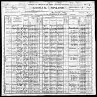 Home of George and Martha Billingslea
 George and Martha Billingslea lived in Gainesville proper. After George's death, Martha moved to an unknown location in Pilot Point.
-
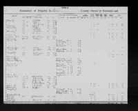 Homestead of Levi and Georgia Holstein
 The Holstein homestead was located within the Joseph Jeffries survey. The Holsteins were one of a few families that lived on the border of Cooke County and Denton County. Their homestead today is under Lake Ray Roberts.
-
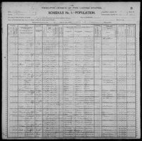 Vaughner Family Farm
 The Vaughner farm was located within the D. Cady survey just west of St. John's Cemetery.
-
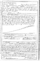 Truitt Family Homestead
 The Truitt family homestead was located within the Samuel Flint survey. The Truitts were neighbors of the Shears family who were also members of St. John's Baptist Church.
-
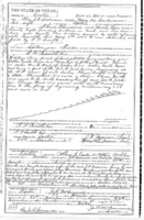 Homestead of Harriet and Risom Shears
 The Shears' family homestead was located within the Samuel Flint Survey just west of the town of Pilot Point. The Shears lived on the same property as the Truitt family, also members of St. John's Baptist Church.
-
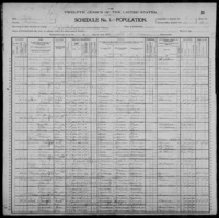 Homestead of Wash Davis and Family
 Wash Davis's homestead was located within the N. Box Survey and just across the train tracks from the Allen farm.
-
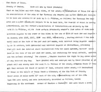 Homestead of the Allen Family
 The Allen family farm was located within the William Boydston survey.
-
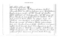 St. John's Cemetery
 St. John's Cemetery is located in the Edward Powell Survey
-
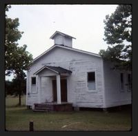 Paradise Baptist Church, Harrison County
 Photo of Paradise Baptist Church, organized in 1926, in Harrison County at brush harbor, before building a church building.
-
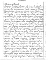 St. John's Baptist Church
 St. John's Baptist Church was located in the Sylvester Williams Survey and consisted of two acres of land.
-
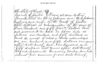 Lyles Family Home
 The Lyles farm was located within the J.M. Moses Survey and consisted of sixty-three acres of land.
-
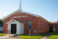
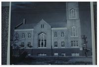 Allen AME Chapel, Fort Worth
 Photo of Allen AME Chapel in Fort Worth. Allen AME was organized in 1873.
-
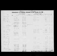 1865 Tax Assessment Denton County
 Tax Assessment of Denton County in 1865 depicts property of Francis Davis, showing a lack of slaves.
-
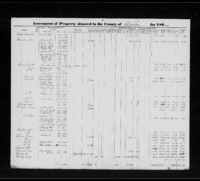 1864 Tax Assessment Denton County
 Tax Assessment of Denton County in 1864 depicts property of Francis Davis, including slaves.
-
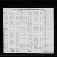 1863 Tax Assessment Denton County
 Tax Assessment of Denton County in 1863 depicts property of Francis Davis, including slaves.
-
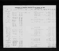 1862 Tax Assessment Denton County
 Tax Assessment of Denton County in 1862 depicts property of Francis Davis, including slaves.
-
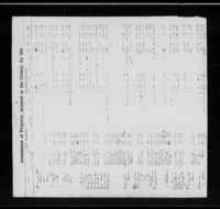 1861 Tax Assessment Denton County
 Tax Assessment of Denton County in 1861 depicts property of Francis Davis, including slaves.
-
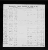 1860 Tax Assessment Denton County
 Tax Assessment of Denton County in 1860 depicts the property of Francis Davis
-
 Map of AME Churches in North Texas
 This a map of AME churches in North Texas that were known to have organized between 1870 and 1930 that exist as of 2018.
-
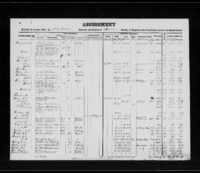 1859 Tax Assessment Denton County
 Tax Assessment of Denton County in 1859 depicts Francis Davis and two enslaved persons: Harriet and Gilbert
-
 Willie Hudspeth discusses the name of St. John's Cemetery
 Oral history clip of Willie Hudspeth talking about St. John's Cemetery
-
 John White discusses growing up around Pilot Point
 Oral history clip of John White discussing growing up around Pilot Point
-
 John White discusses cemetery name
 Oral history clip of John White from Pilot Point discussing the origins of St. John's Cemetery and its name
-
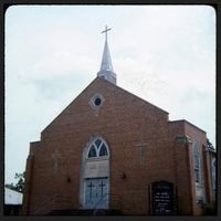 Miles Memorial CME Church
 A photo of Miles Memorial CME Church, the first CME church organized in Texas, which is located in the historically black section of Marshall, New Town.
-
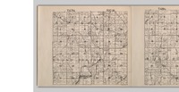 Land Map of Round Prairie Township in Missouri
 Land map depicts the land once owned by Gerrard Davis under the name Rice, the married name of one of his daughters, in the upper left portion of section 34.
 Home of George and Martha Billingslea George and Martha Billingslea lived in Gainesville proper. After George's death, Martha moved to an unknown location in Pilot Point.
 Homestead of Levi and Georgia Holstein The Holstein homestead was located within the Joseph Jeffries survey. The Holsteins were one of a few families that lived on the border of Cooke County and Denton County. Their homestead today is under Lake Ray Roberts.
 Vaughner Family Farm The Vaughner farm was located within the D. Cady survey just west of St. John's Cemetery.
 Truitt Family Homestead The Truitt family homestead was located within the Samuel Flint survey. The Truitts were neighbors of the Shears family who were also members of St. John's Baptist Church.
 Homestead of Harriet and Risom Shears The Shears' family homestead was located within the Samuel Flint Survey just west of the town of Pilot Point. The Shears lived on the same property as the Truitt family, also members of St. John's Baptist Church.
 Homestead of Wash Davis and Family Wash Davis's homestead was located within the N. Box Survey and just across the train tracks from the Allen farm.
 Homestead of the Allen Family The Allen family farm was located within the William Boydston survey.
 St. John's Cemetery St. John's Cemetery is located in the Edward Powell Survey
 Paradise Baptist Church, Harrison County Photo of Paradise Baptist Church, organized in 1926, in Harrison County at brush harbor, before building a church building.
 St. John's Baptist Church St. John's Baptist Church was located in the Sylvester Williams Survey and consisted of two acres of land.
 Lyles Family Home The Lyles farm was located within the J.M. Moses Survey and consisted of sixty-three acres of land.
 Allen AME Chapel, Fort Worth Photo of Allen AME Chapel in Fort Worth. Allen AME was organized in 1873.
 1865 Tax Assessment Denton County Tax Assessment of Denton County in 1865 depicts property of Francis Davis, showing a lack of slaves.
 1864 Tax Assessment Denton County Tax Assessment of Denton County in 1864 depicts property of Francis Davis, including slaves.
 1863 Tax Assessment Denton County Tax Assessment of Denton County in 1863 depicts property of Francis Davis, including slaves.
 1862 Tax Assessment Denton County Tax Assessment of Denton County in 1862 depicts property of Francis Davis, including slaves.
 1861 Tax Assessment Denton County Tax Assessment of Denton County in 1861 depicts property of Francis Davis, including slaves.
 1860 Tax Assessment Denton County Tax Assessment of Denton County in 1860 depicts the property of Francis Davis
 Map of AME Churches in North Texas This a map of AME churches in North Texas that were known to have organized between 1870 and 1930 that exist as of 2018.
 1859 Tax Assessment Denton County Tax Assessment of Denton County in 1859 depicts Francis Davis and two enslaved persons: Harriet and Gilbert
 Willie Hudspeth discusses the name of St. John's Cemetery Oral history clip of Willie Hudspeth talking about St. John's Cemetery
 John White discusses growing up around Pilot Point Oral history clip of John White discussing growing up around Pilot Point
 John White discusses cemetery name Oral history clip of John White from Pilot Point discussing the origins of St. John's Cemetery and its name
 Miles Memorial CME Church A photo of Miles Memorial CME Church, the first CME church organized in Texas, which is located in the historically black section of Marshall, New Town.
 Land Map of Round Prairie Township in Missouri Land map depicts the land once owned by Gerrard Davis under the name Rice, the married name of one of his daughters, in the upper left portion of section 34.