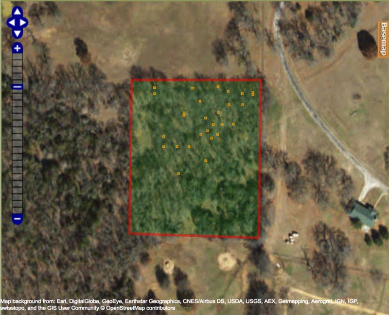
Aerial View of St. John's Cemetery
Item
- Title
- Aerial View of St. John's Cemetery
- Description
- This is a satellite image of the plot of land on which the cemetery is located.
- Date
- 2018-04-30
- Source
-
Esri, DigitalGlobe, GeoEye, Earthstar Geographics, CNES/Airbus DS, USDA, USGS, AEX, Getmapping, Aerogrid, IGN, IGP,
swisstopo, and the GIS User Community © OpenStreetMap contributors - Subject
- cemetery photo
- cemetery map
- aerial view
- Item sets
- All St. Johns Items

