Land Map of Round Prairie Township in Missouri
Item
- Title
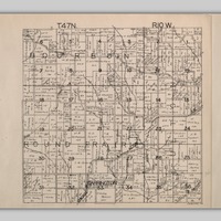
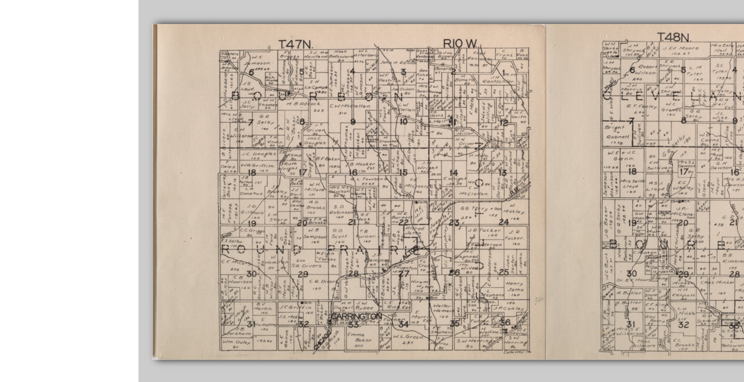
- Land Map of Round Prairie Township in Missouri
- Description
- Land map depicts the land once owned by Gerrard Davis under the name Rice, the married name of one of his daughters, in the upper left portion of section 34.
- Date
- 1831
- Source
- "Plat Book of Callaway County Missouri", University of Missouri, accessed May 5, 2018, https://dl.mospace.umsystem.edu//mu/islandora/object/mu:129287#page/22/mode/2up.
- Subject
- Gerrard Davis
- Amelia Davis
- Francis Davis
- Harriet Davis
- Amanda Davis
- Land Grant
- Missouri
- Callaway County
- Plat Book
- Item sets
- All St. Johns Items